Contents
Route map
Route details
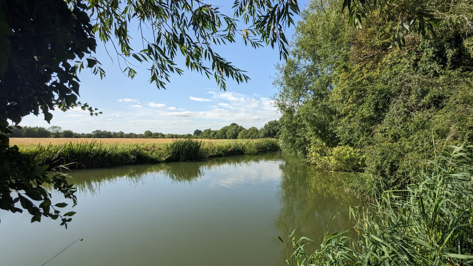
The path leaving Buckingham starts with a short stretch along the old Buckingham Canal which has been turned into a wildlife habitat. If you pass through on a Tuesday or Thursday you might see members of the Canal Society carrying out maintenance.
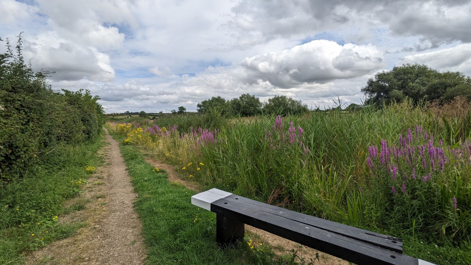
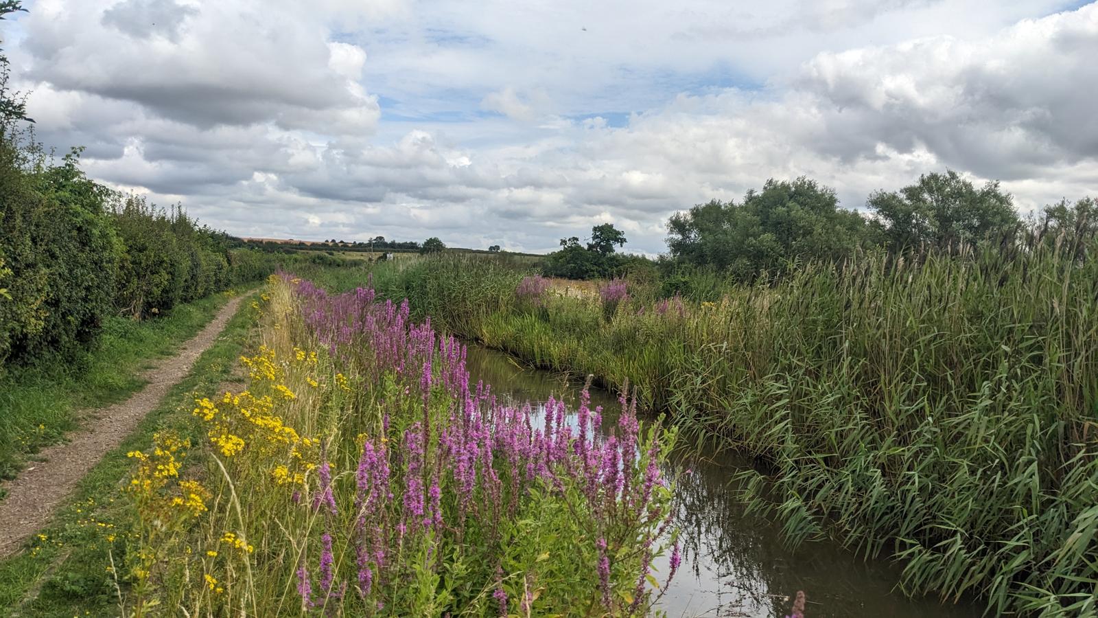
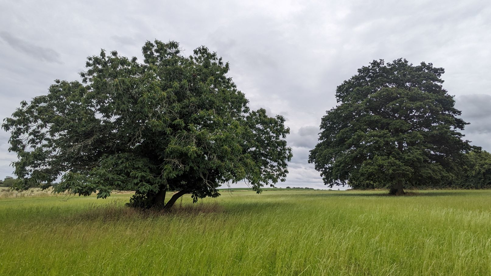
Much of the route to up to Thornton follows the old canal and note how the old canal bed provides a haven for dfferent species.
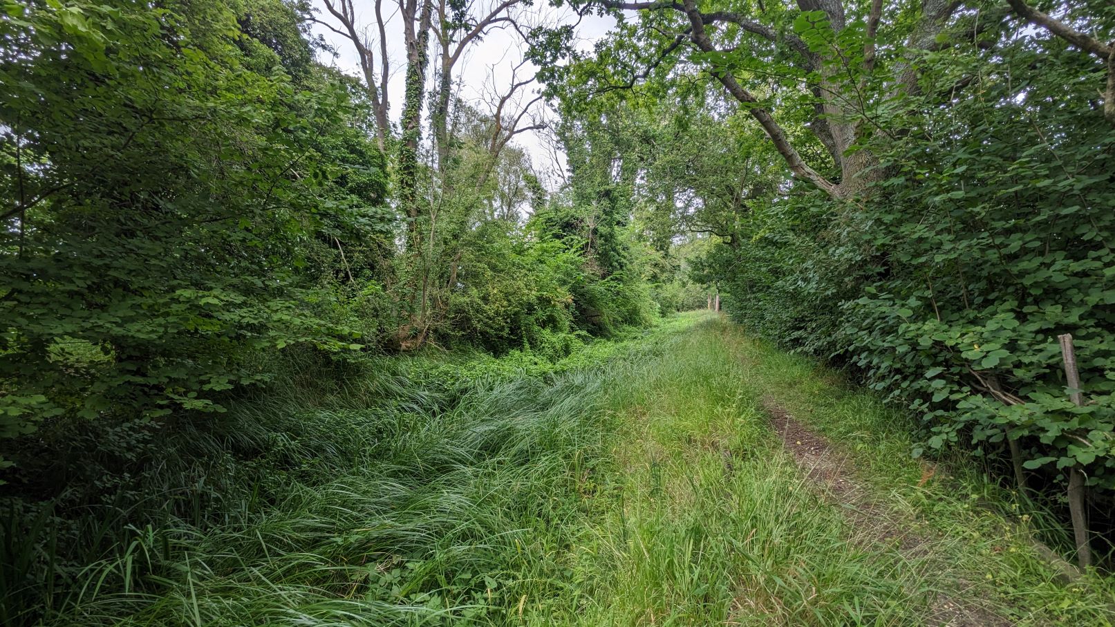
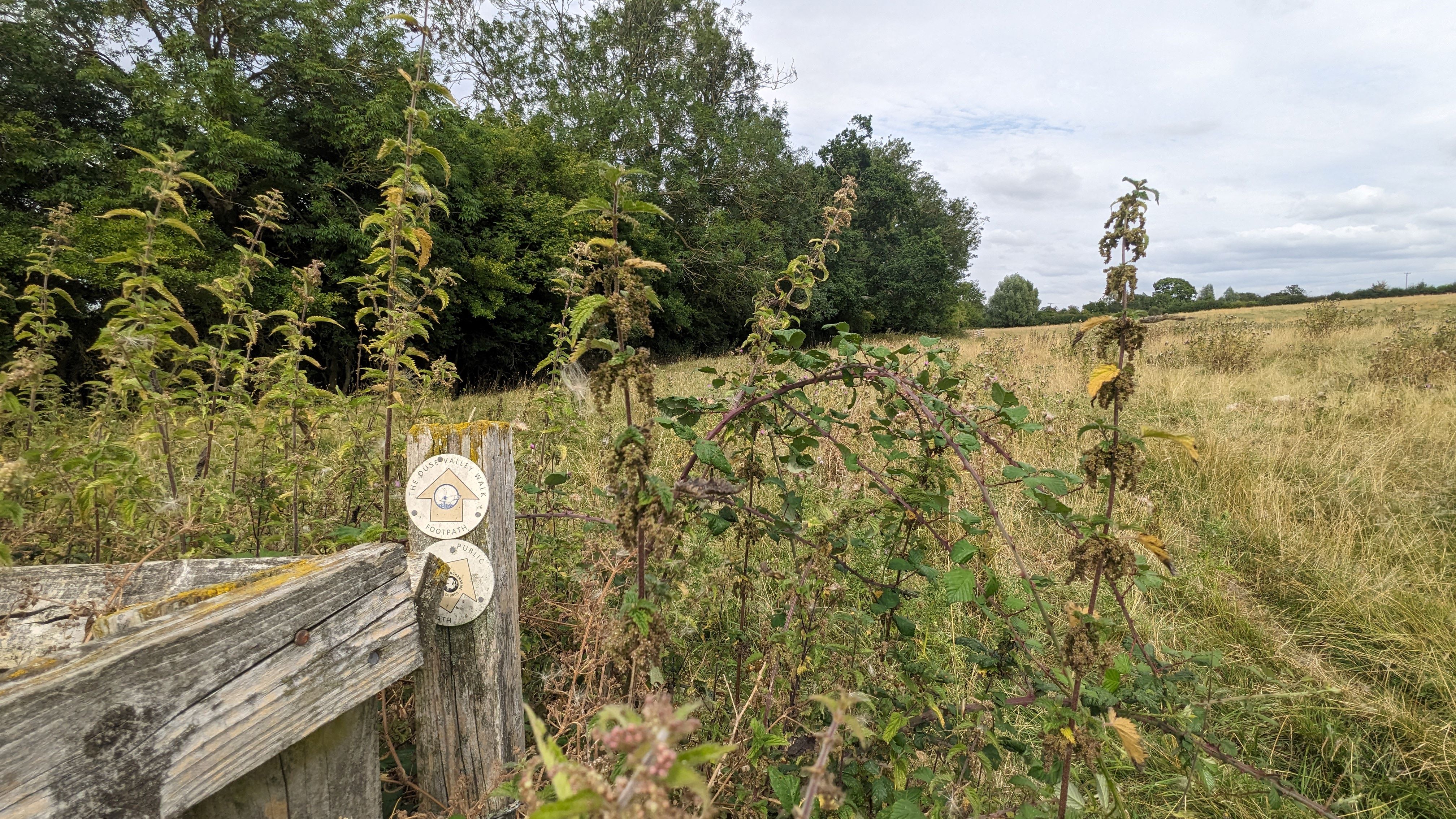
At Thornton, which is home to a convent and associated private school, the route becomes trickier. The current issues have been marked on the map.
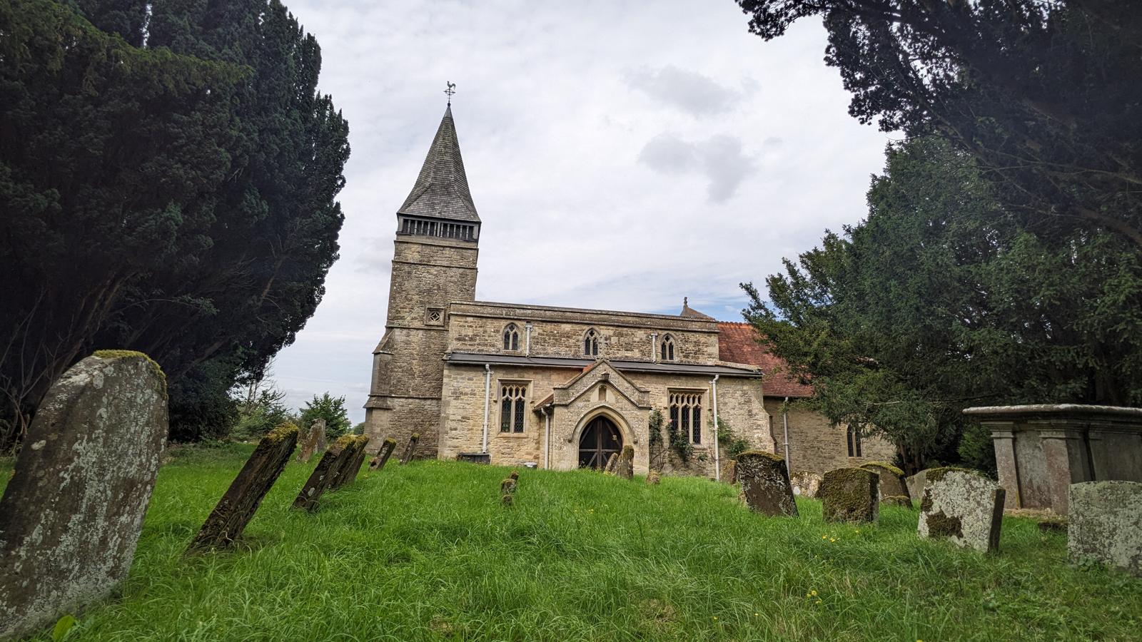
At Beachampton, St Mary the Virgin church is often open if you fancy having a look around (or a sit down) and there are also a couple of benches in the surrounding graveyard.
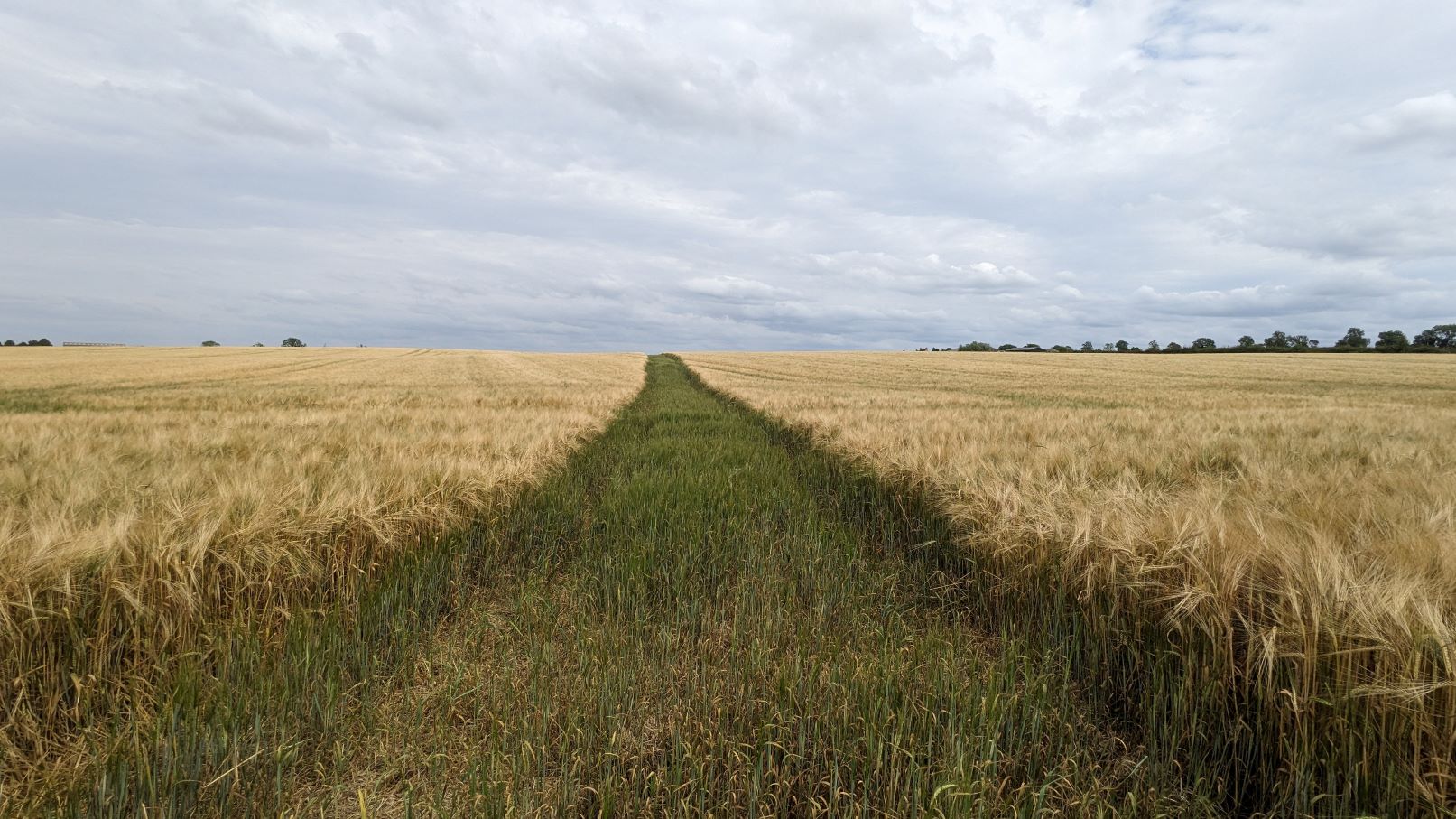
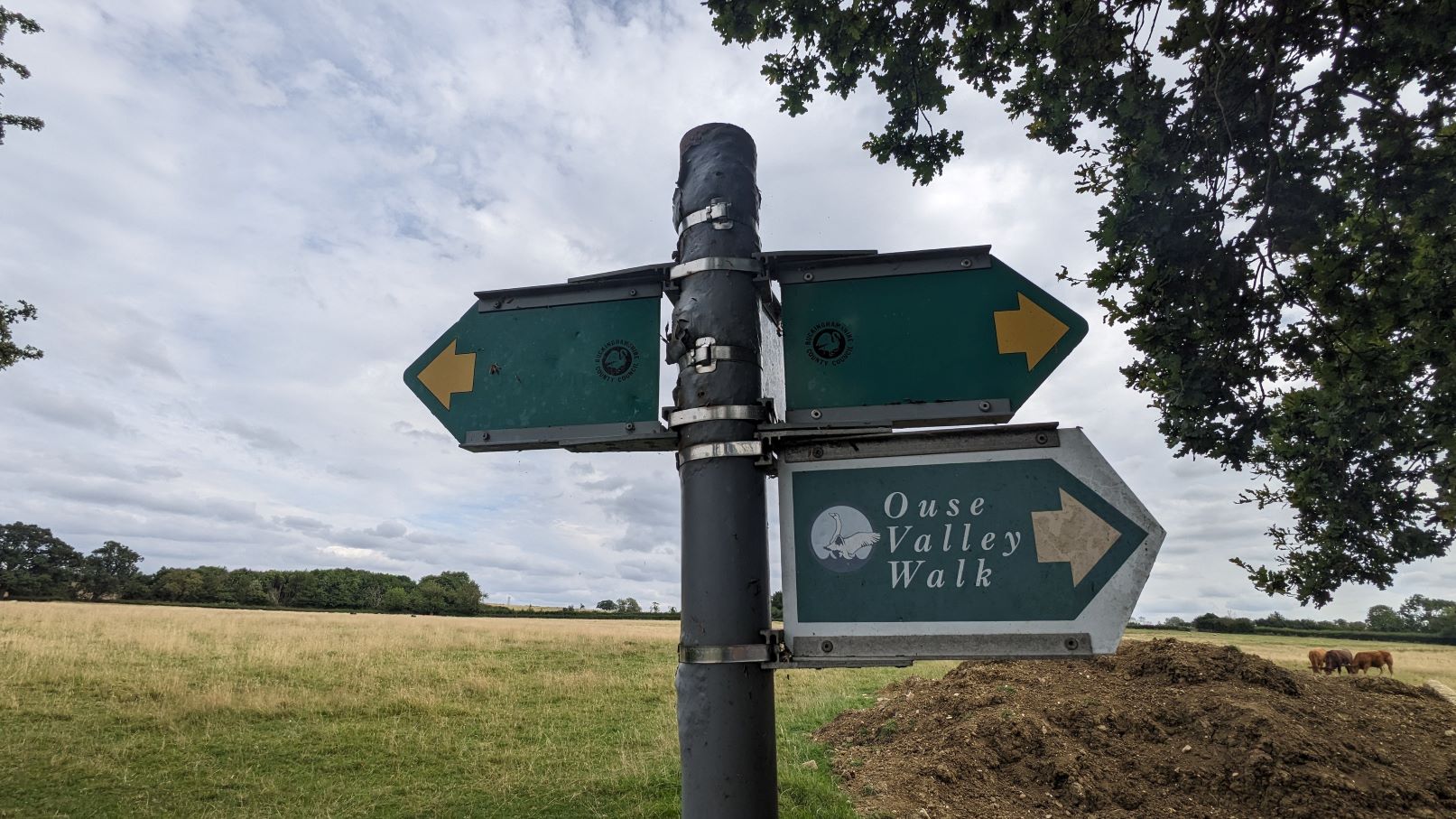
The path onwards to Stony Stratford also has some confusing bits which can be made trickier by the presence of cattle. These have been marked on the map.
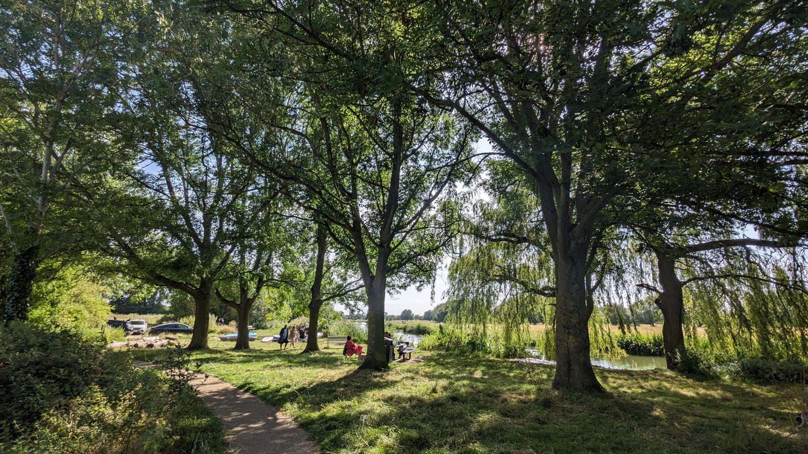
Arriving at the Lower Wield of Calverton marks the entry into the city of Milton Keynes.
Milton Keynes (MK as the locals call it) takes its name from one of the 13 villages and towns that were incorporated into the new conurbation and if your only notion of MK is roundabouts and concrete cows, you will be in for a surprise.
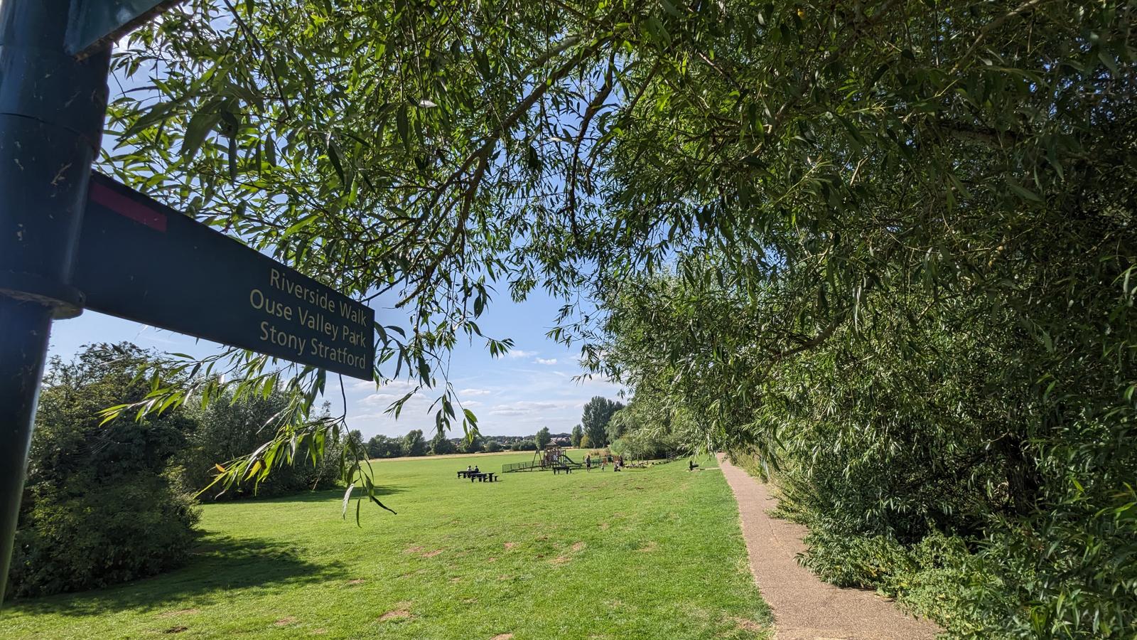
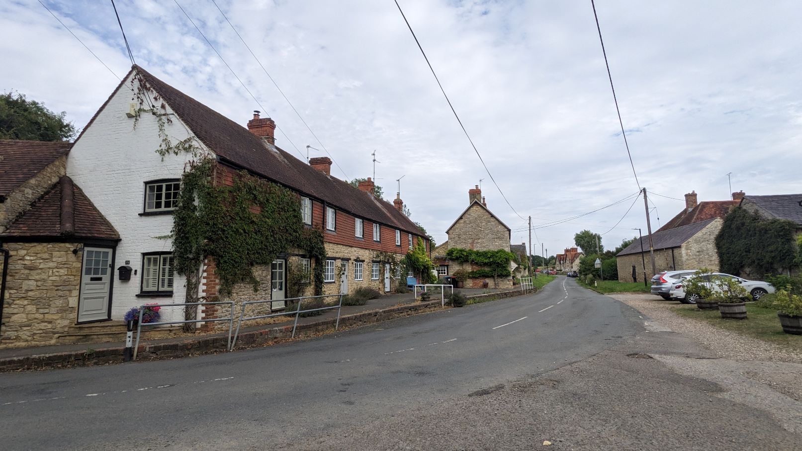
It’s just a short wander into the ancient coaching town of Stony Stratford which was, as the name suggests, the place where Watling Street crossed the Great Ouse (street ford).
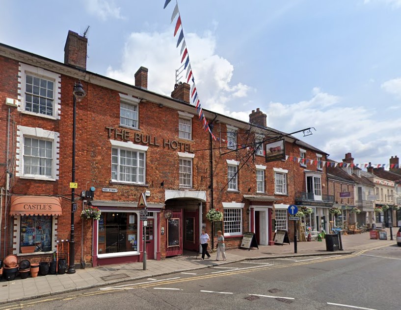
It’s a good place to stay, or at least get something to eat and drink, and why not do as travellers in the past did and go to either the Cock Inn or the Bull Hotel and tell your own Cock and Bull story.
Audio downloads
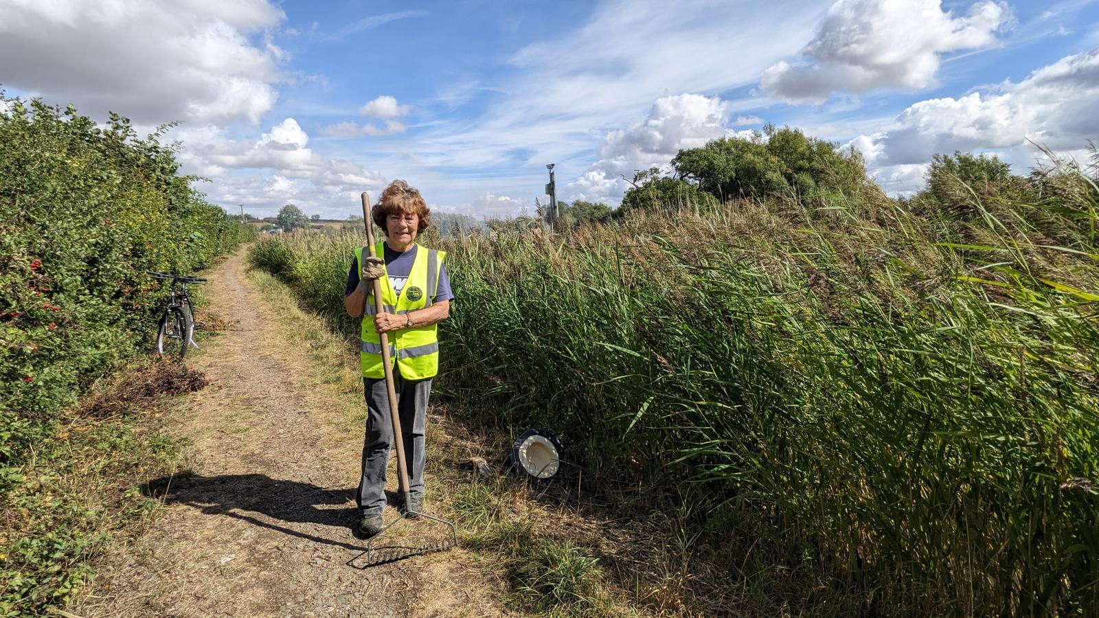
Reviving a canal
Athena Beckett takes time out from managing a volunteer work party to tell us about the work of the Buckingham Canal Society.
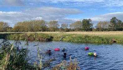
Sunday swarm
It's a nippy Sunday morning in Stony Straford which means it's time to join the local Bluetits swarm for a swim.
Milton Keynes Bluetits

Bard of Stony
Nova Carmen, Bard of Stony Stratford, shares some tips, and a poem, to help us get creative on the long walk to Kings Lynn.
Bard of Stony Stratford
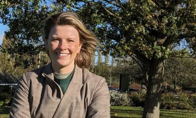
In parks we trust
Ellie Durrant tells us about the Parks Trust's new plans for developing their Wetland Arc.
Parks Trust
Public transport
The X6 can be used to getting between the start and end points. Bus times Arriva
It’s also worth noting that the X5 runs from Oxford to Bedford via Buckingham.
Next leg: Stony Stratford to Newport Pagnell
Back to overview