The 150 mile-long Ouse Valley Way is a fascinating cross-section through England. It’s a chance to discover how the country has been shaped by the river which allowed our ancestors to prosper. It passes through ancient villages and new towns. Seeing how our country has come to be as it is also poses questions about the future.
Along the Way, you’ll get the chance to meet some of the people for whom the river plays a part in their daily lives. The walk is described below in three sections reflecting the different character of each stretch of the river.
Headwaters: Syresham to Bedford
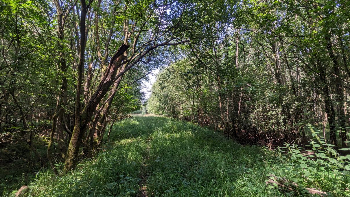
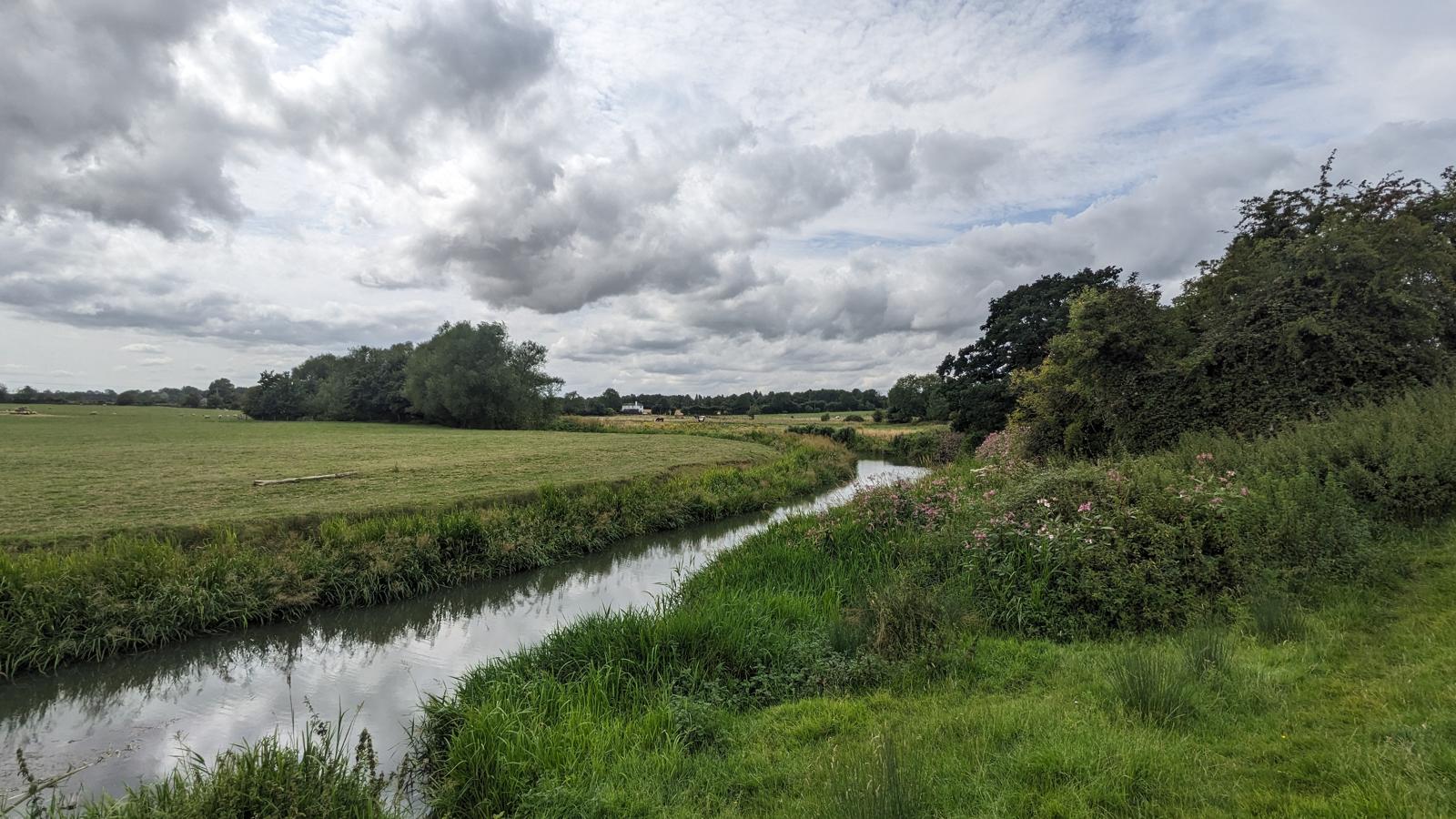
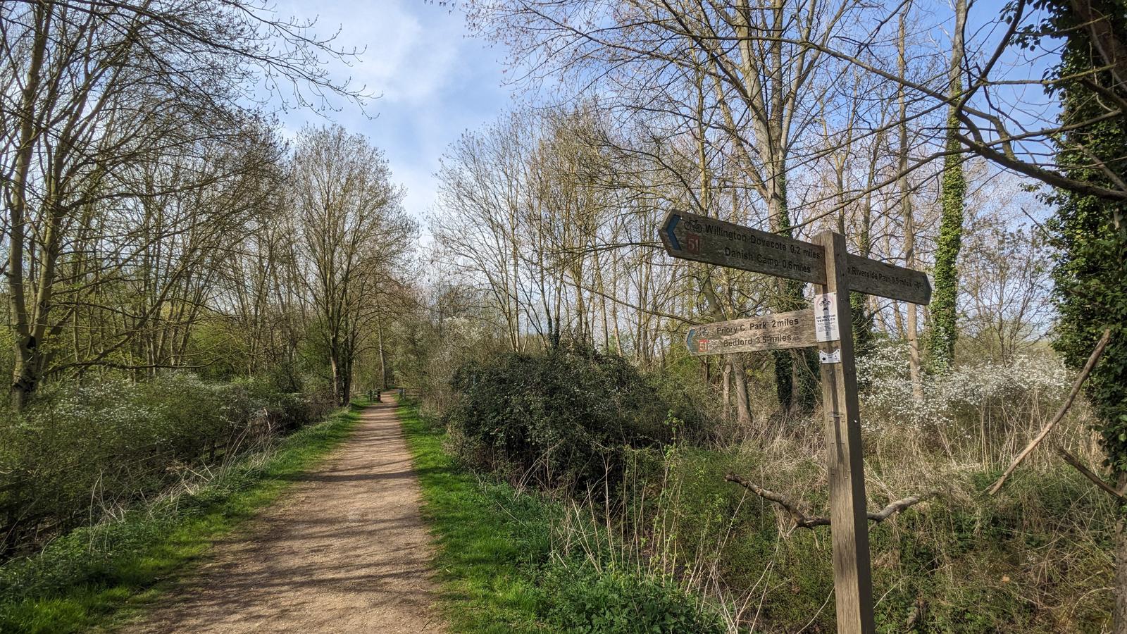
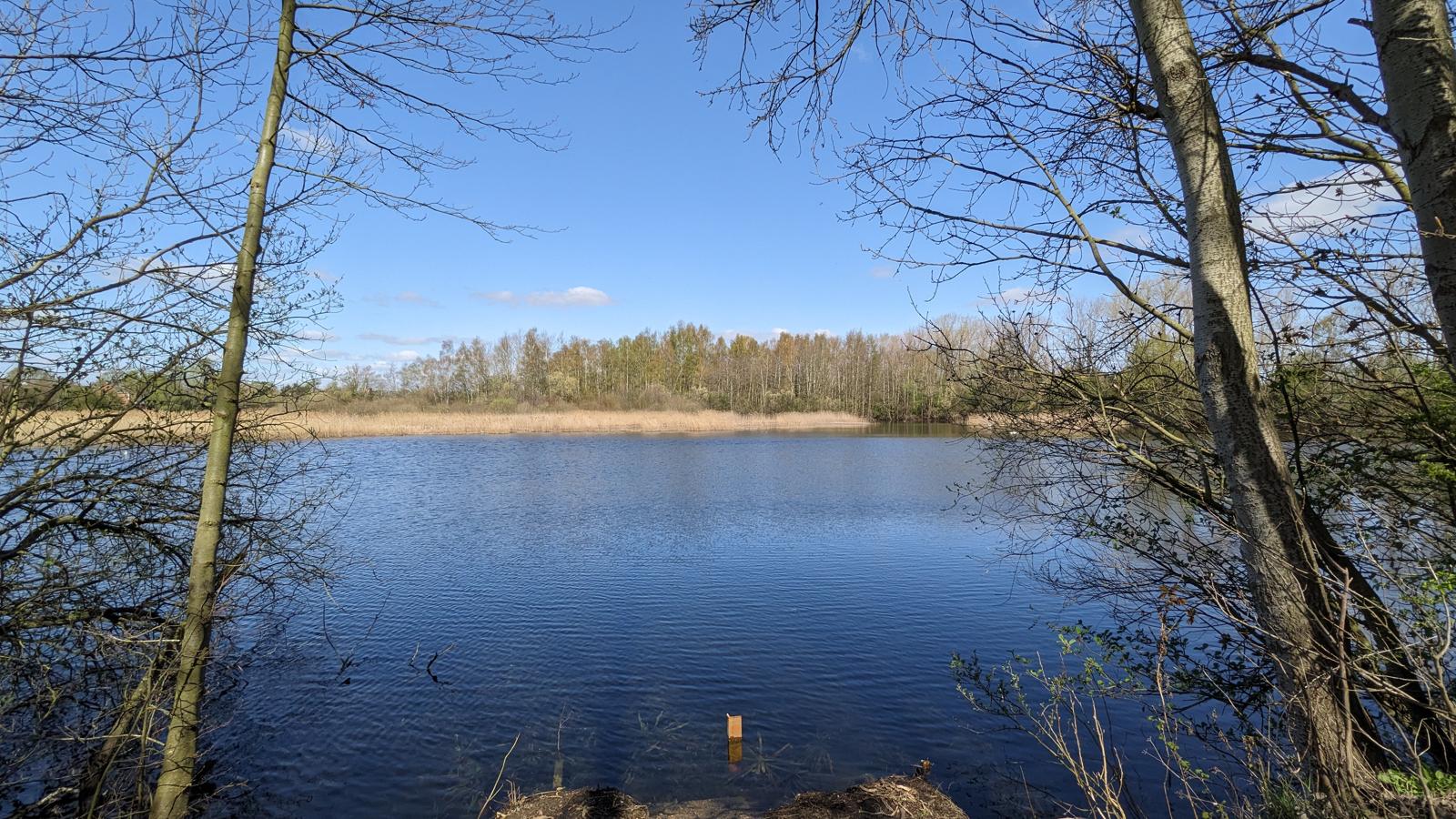
This stretch offers a chance to spend time following streams, brooks and ditches and walking through fields with the occasional sight of a hare or deer, but usually accompanied by the sound of blackbirds, great tits and skylarks.
However, it’s fair to say that maintenance along this stretch has been rather lacking in parts. Known issues are marked on the map, as are alternative routes. I carry a pair of gardening gloves and secateurs to deal with overgrown stiles.
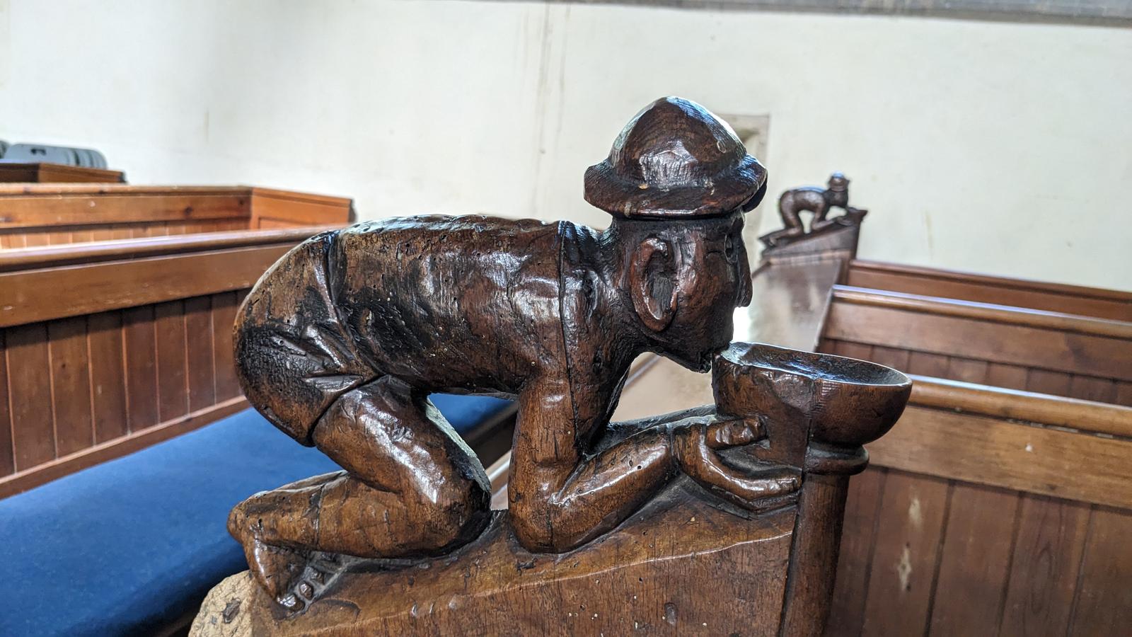
Legs
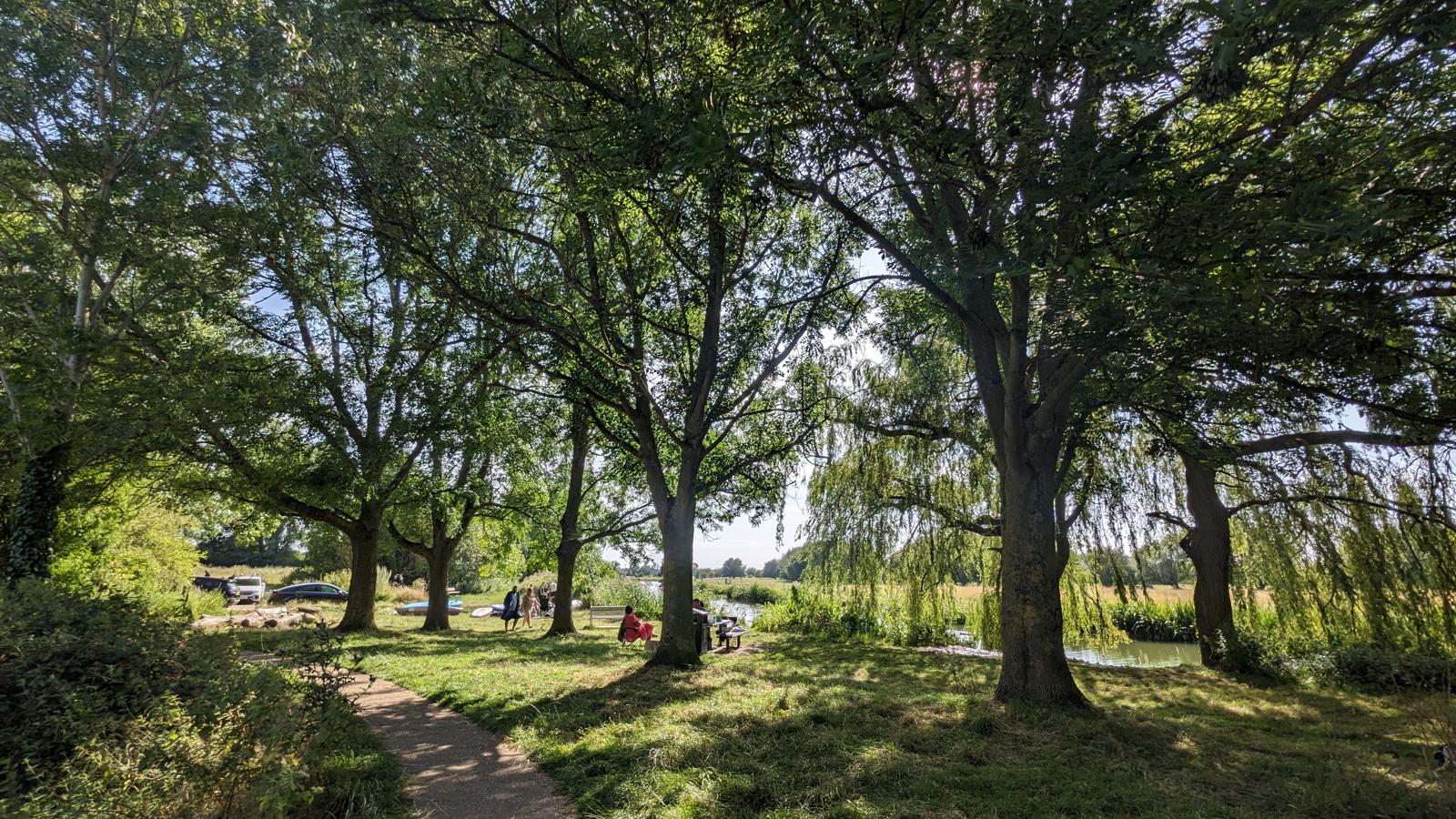
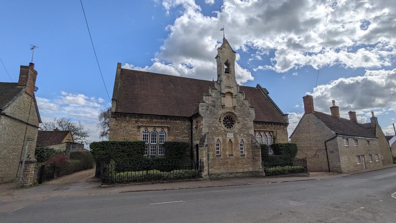
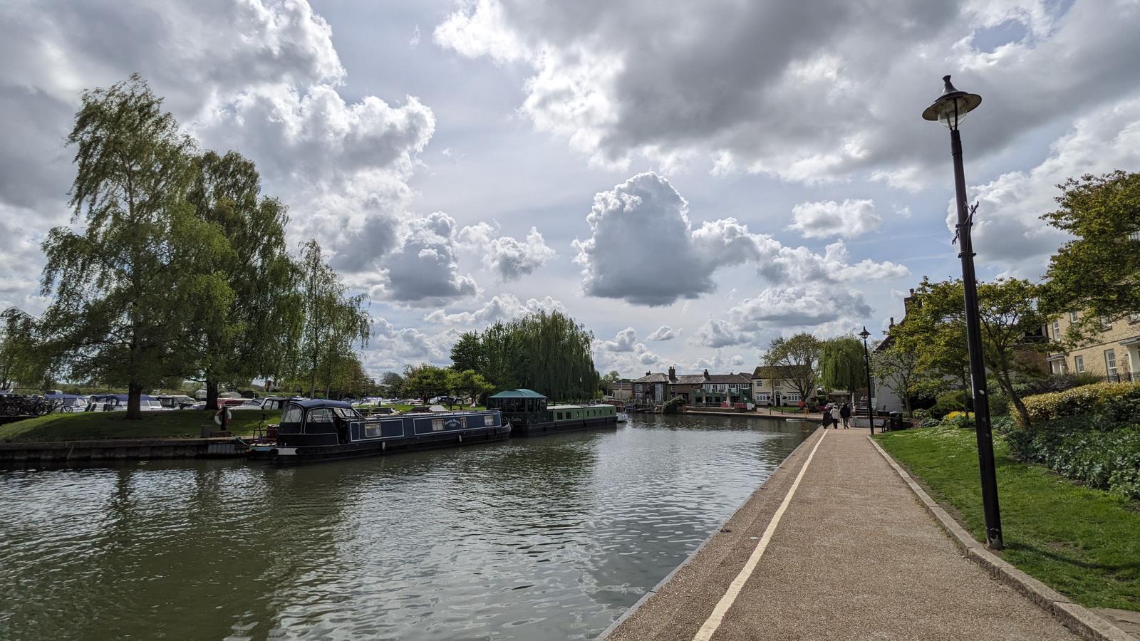
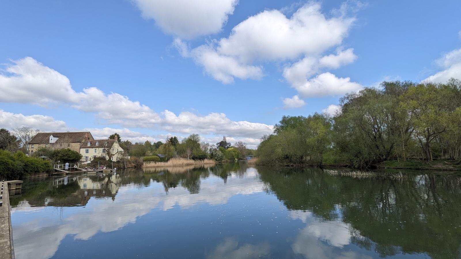
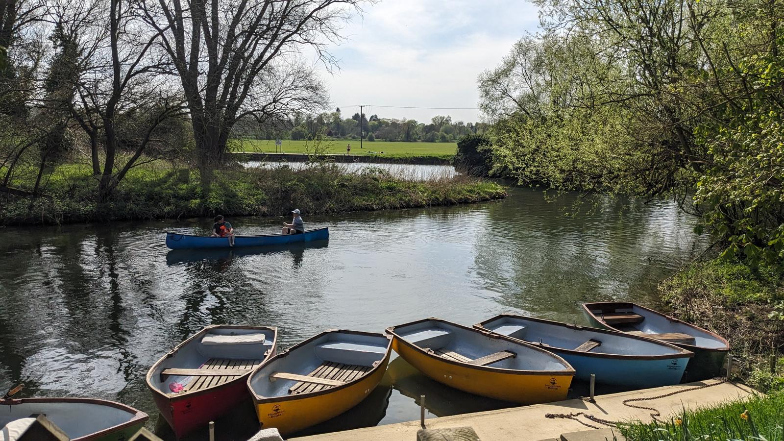
The Navigable River: Bedford to Earith
From the retreat of the Romans to the industrial revolution, it’s fair to say that England wasn’t very easy to get around. As a result, it was towns set on navigable rivers that prospered from the free-flow of trade while the abundance of water powered their mills. Often there has been too much water and they’ve had to deal with the tricky business of flooding.
Legs
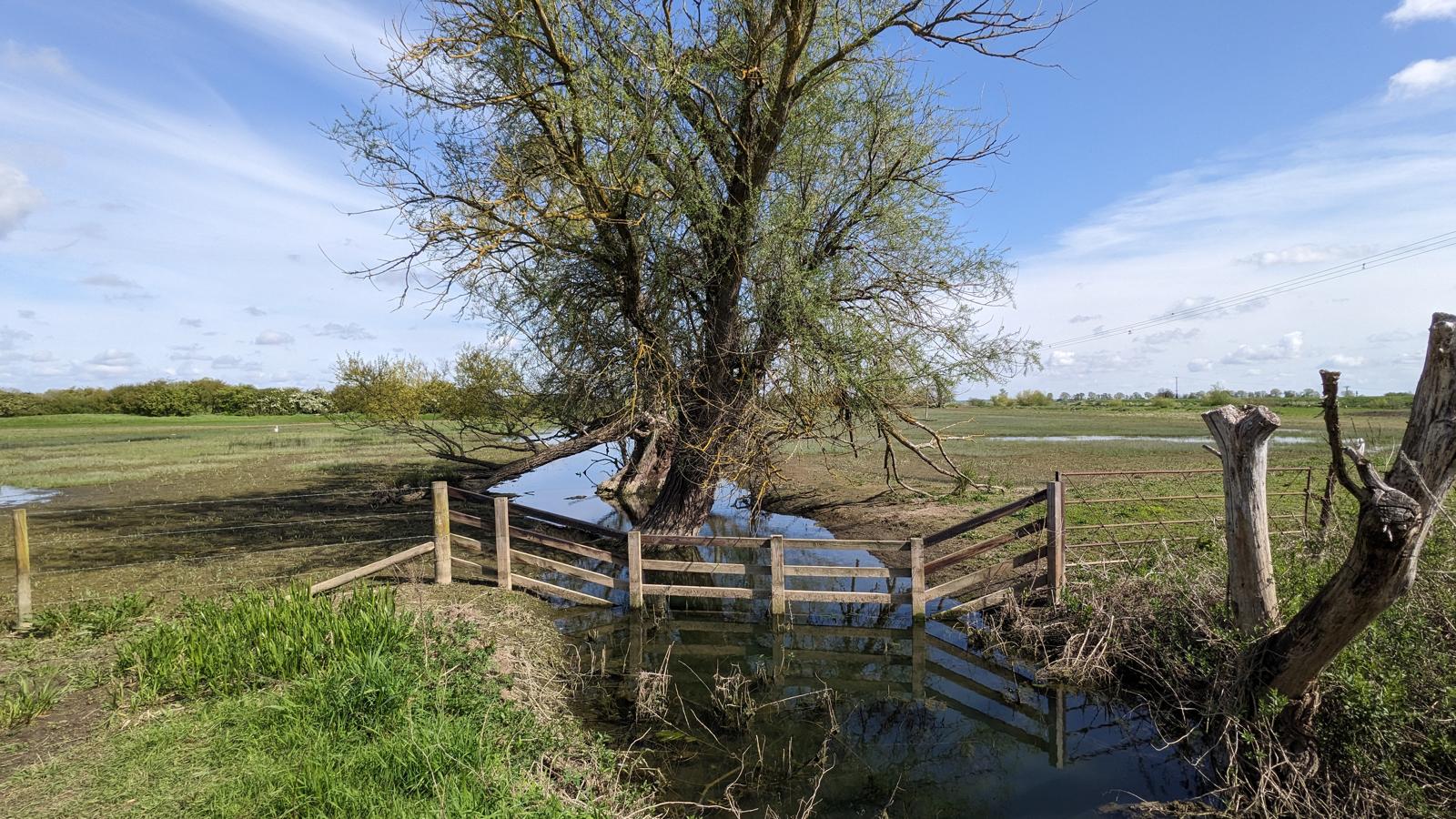
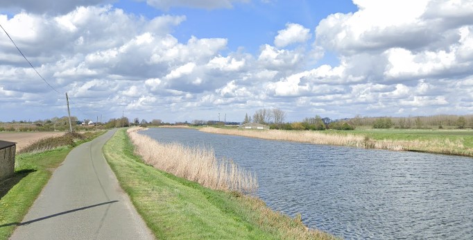
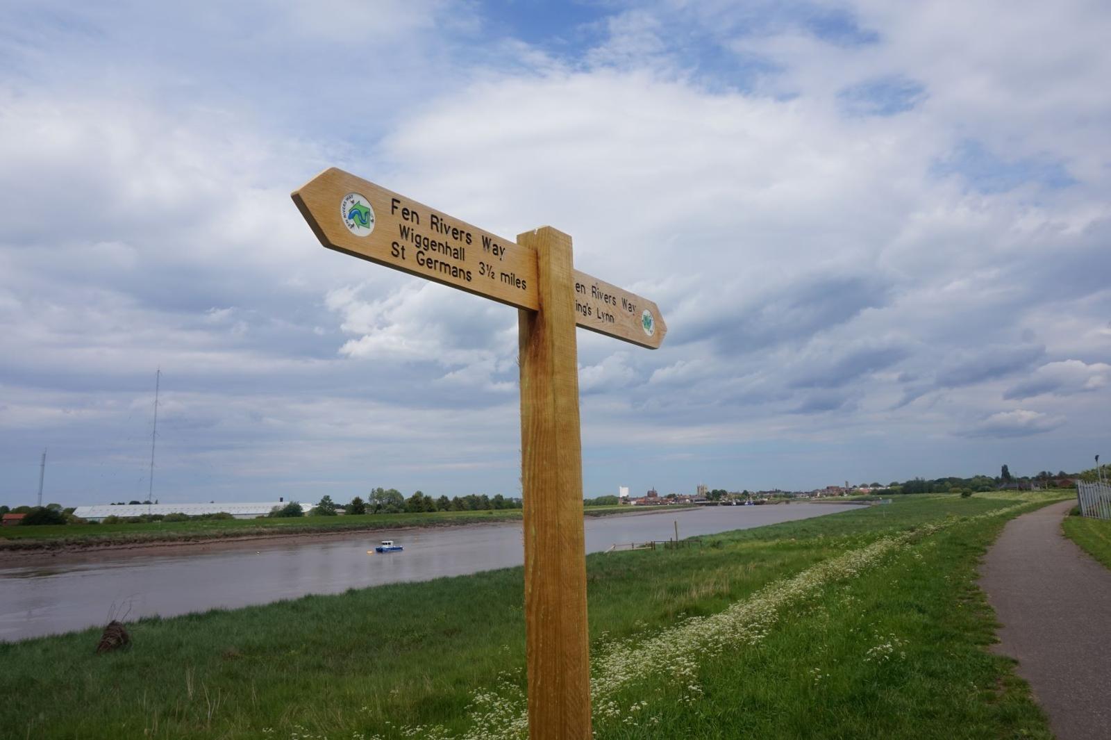
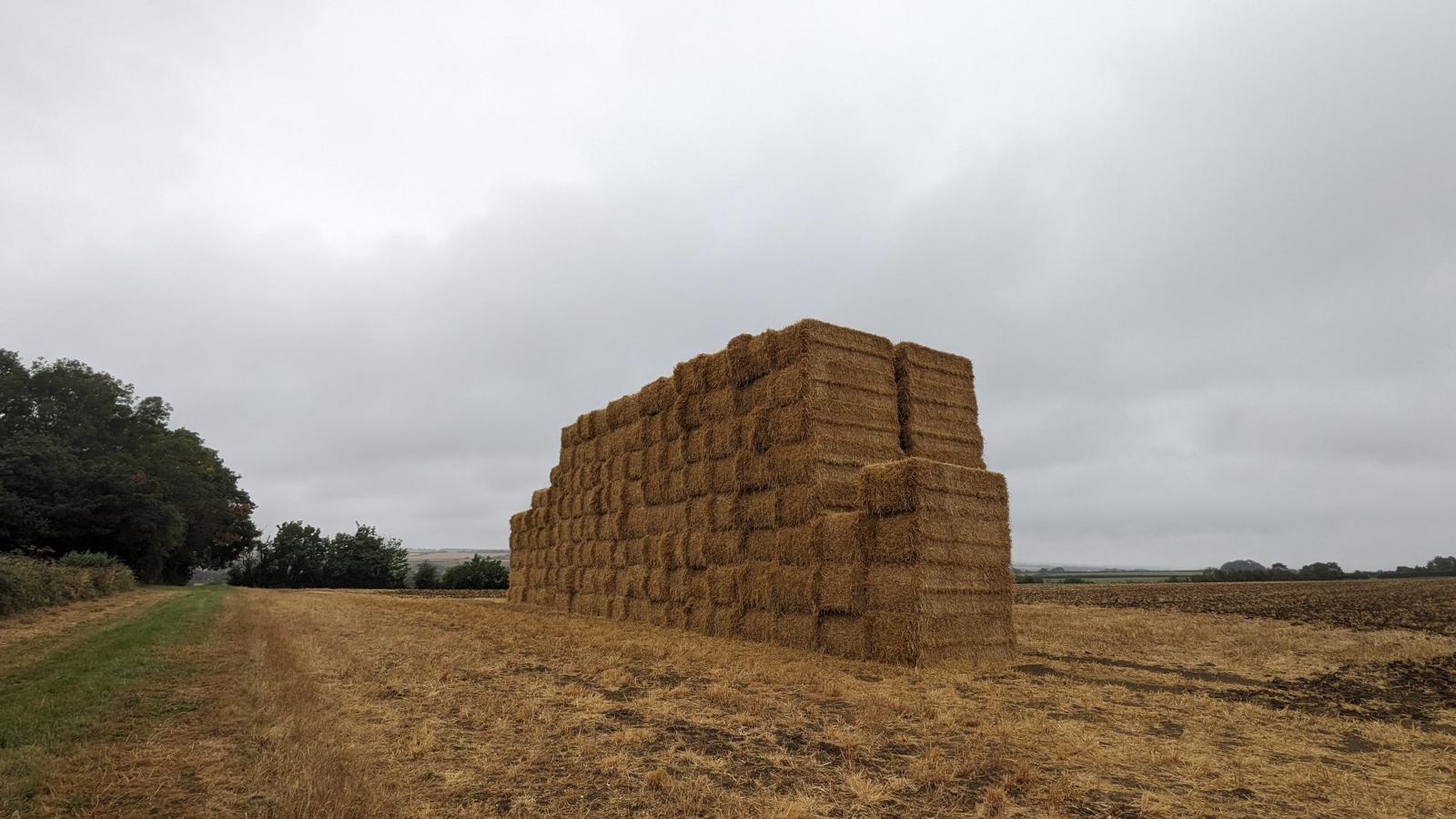
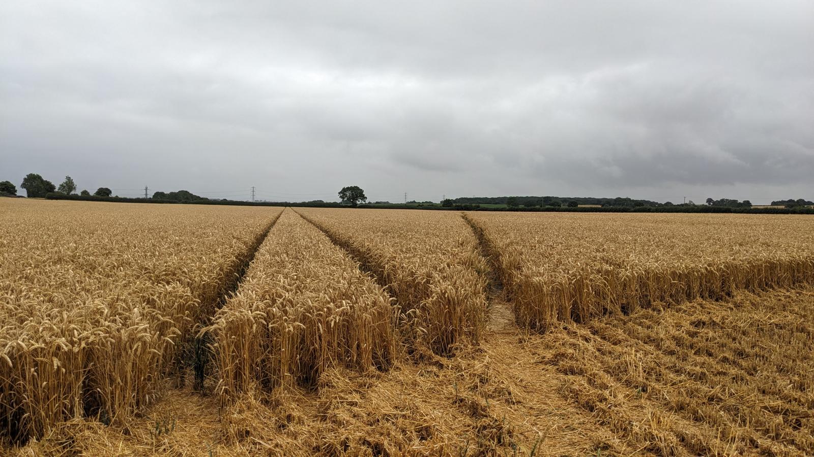
Fens: Earith to Kings Lynn
The Fens are unique - or at least unique to England. Over in the Netherlands, reclaimed land put to good use is commonplace, but this landscape created with the help of a Dutch engineer has been feeding England since the Civil War.
Compared to the walks in the previous sections, these are sparser in features and, for practical reasons, longer in distance. There are some suggested places to stop en-route, and public transport can help if the distances are an issue. Nevertheless, they offer a profound lesson in how we use land and where we can provide opportunities to allow nature to co-exist.