Contents
Route map
Route details
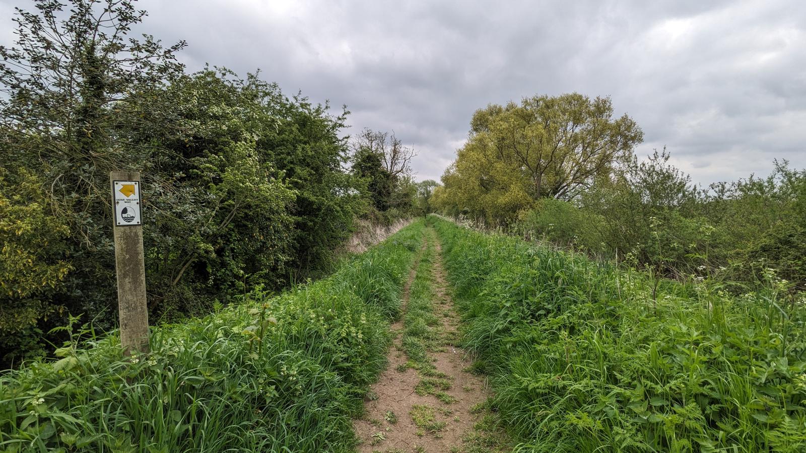
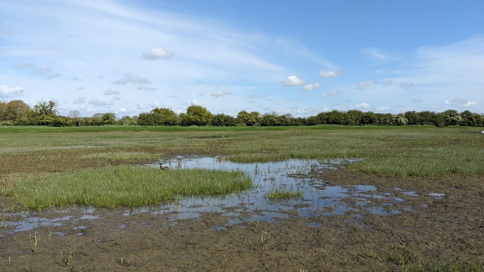
Leaving Holywell, the path heads along a dry ridge which is clearly useful in this floodable area
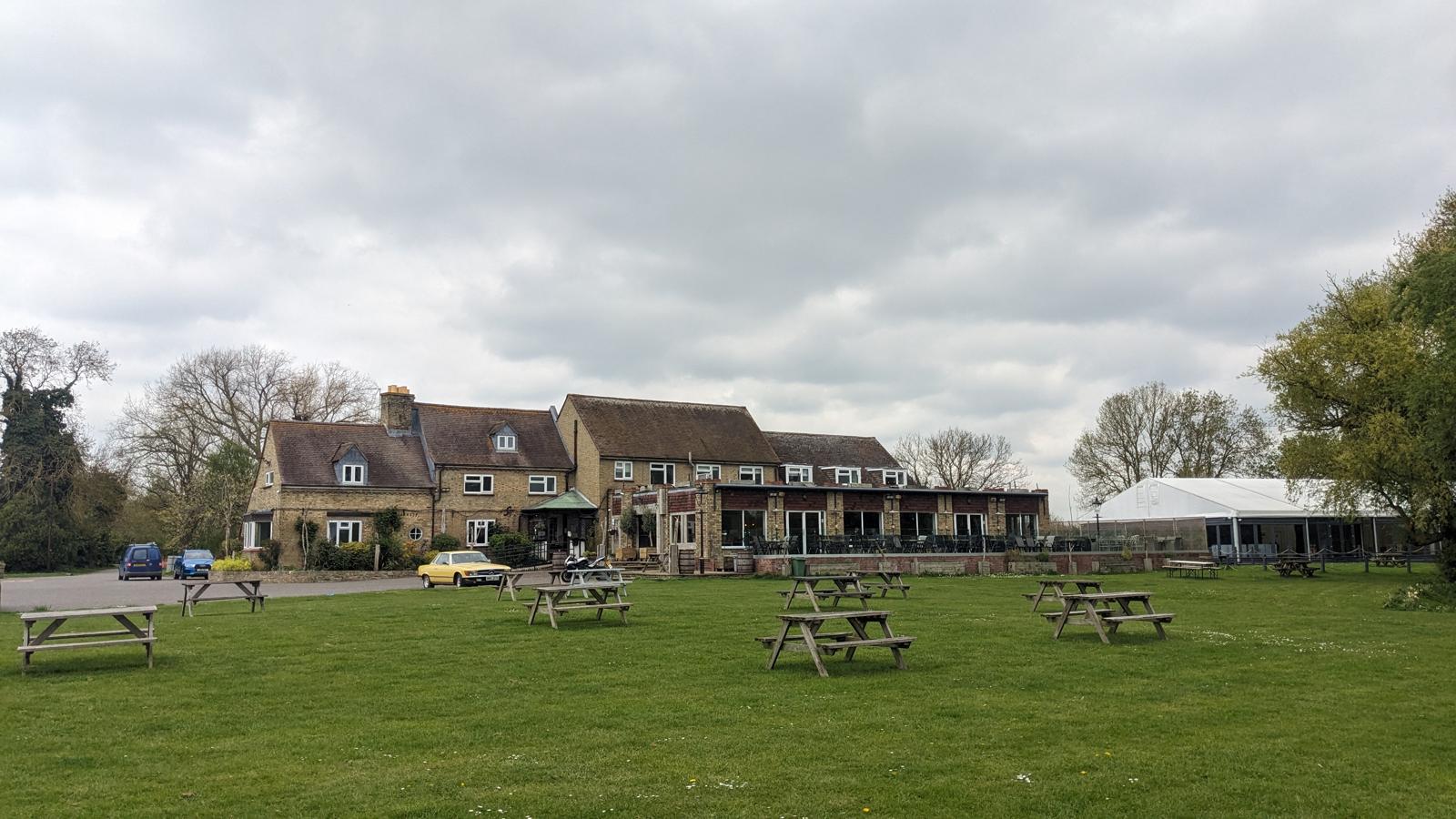
and through the Pike & Eel Hotel and Marina, which is also an option for refreshments and overnighting.
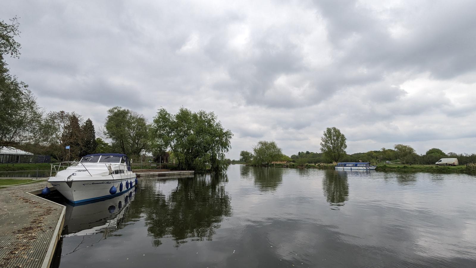
The route carries on past the Browshill staunch and sluice, which is the first significant part of the water management system that has helped maintain the Fens as they are today. The path then heads to the village of Earith where we can now safely say, we are in the Fens. This is the point where managing water has been the No. 1 priority for the last 300 years.
While here, there’s a chance to look as the Civil War fortification, the Earith Bulwark, which is now a rabbit warren. It’s hard to make sense of the place and what it used to be like.
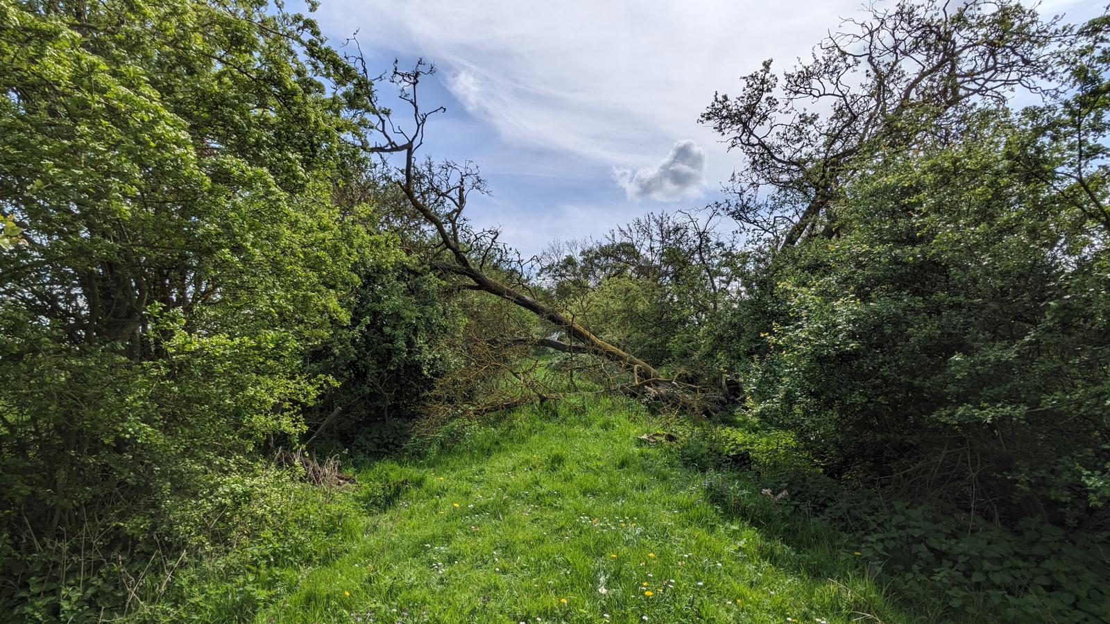
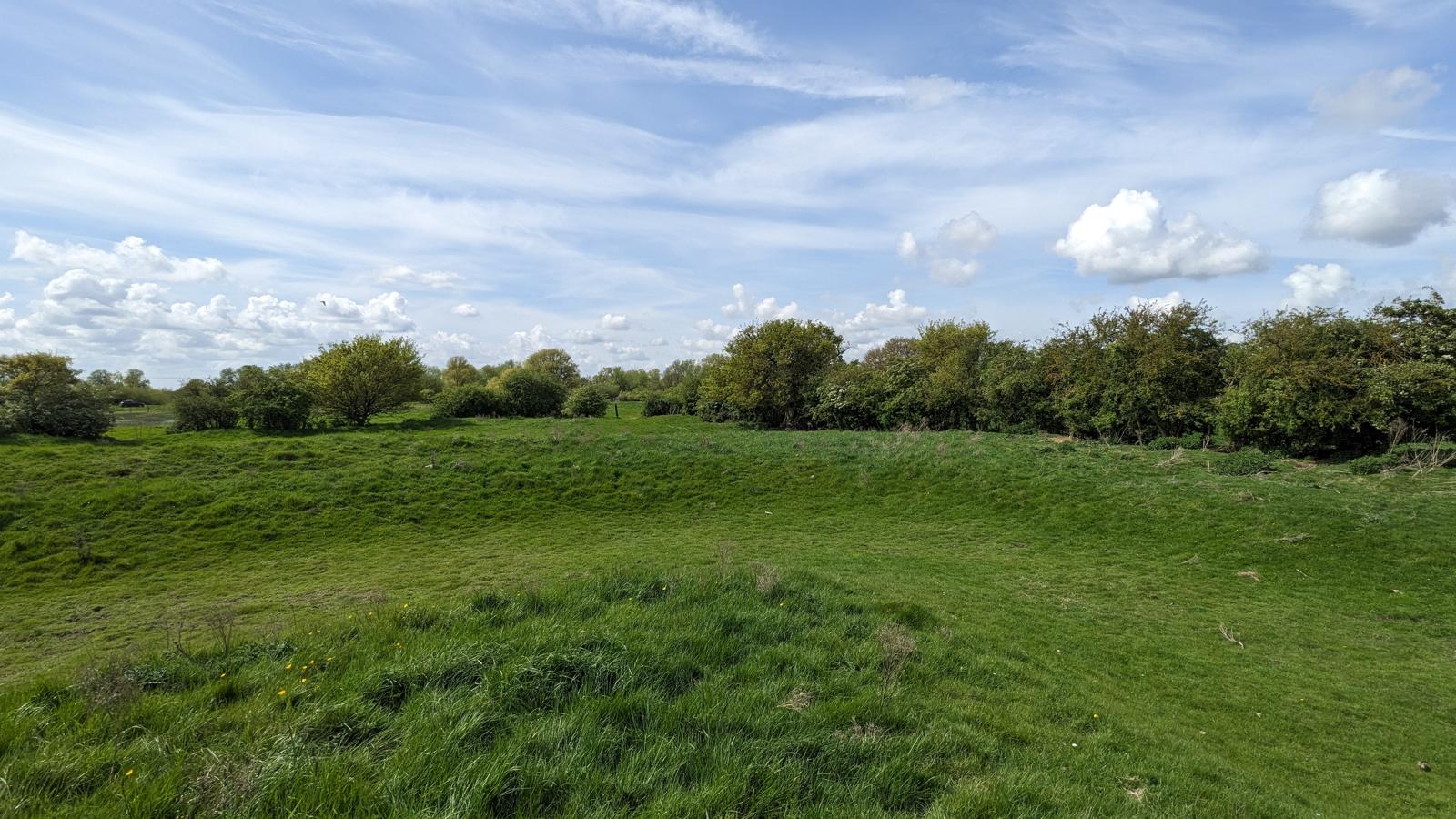
However, times of flood bring the bulwark back to life.
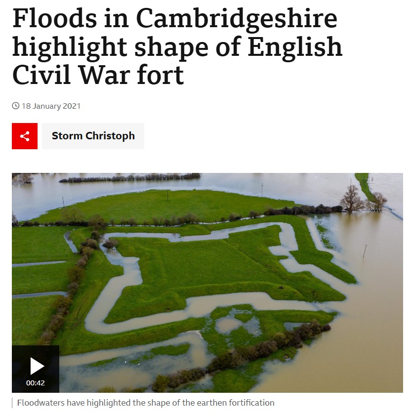 Courtesy of the BBC
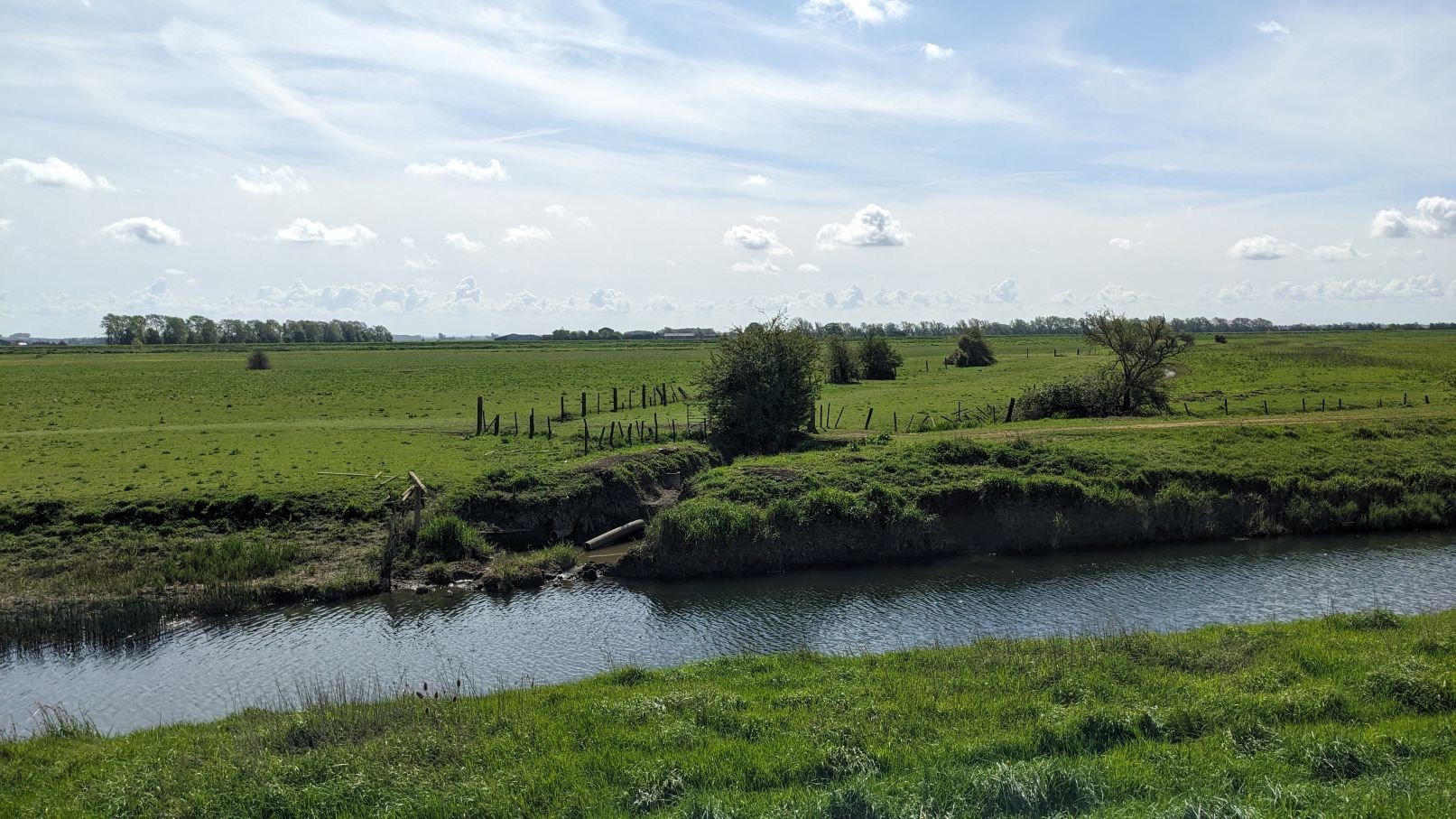
The Fens were drained by creating two parallel drains, called the Old and New Bedford Rivers.
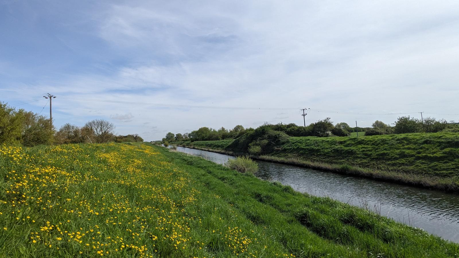 Old Bedford River
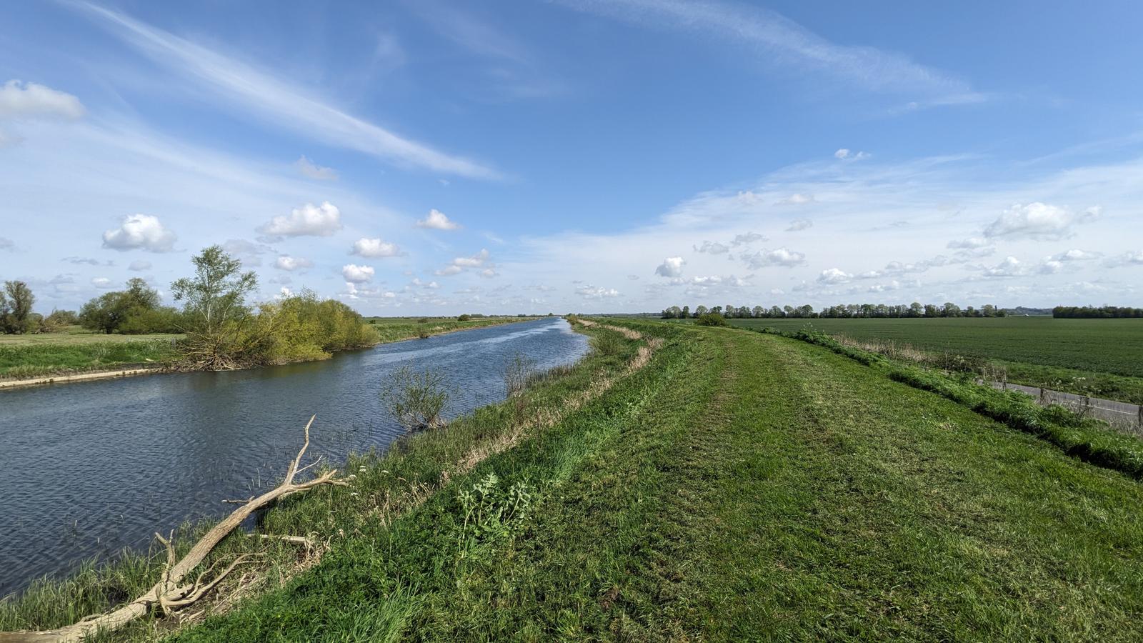 New Bedford River
The land between them, the Ouse Washes, acts as temporary resevoir during times of flood.
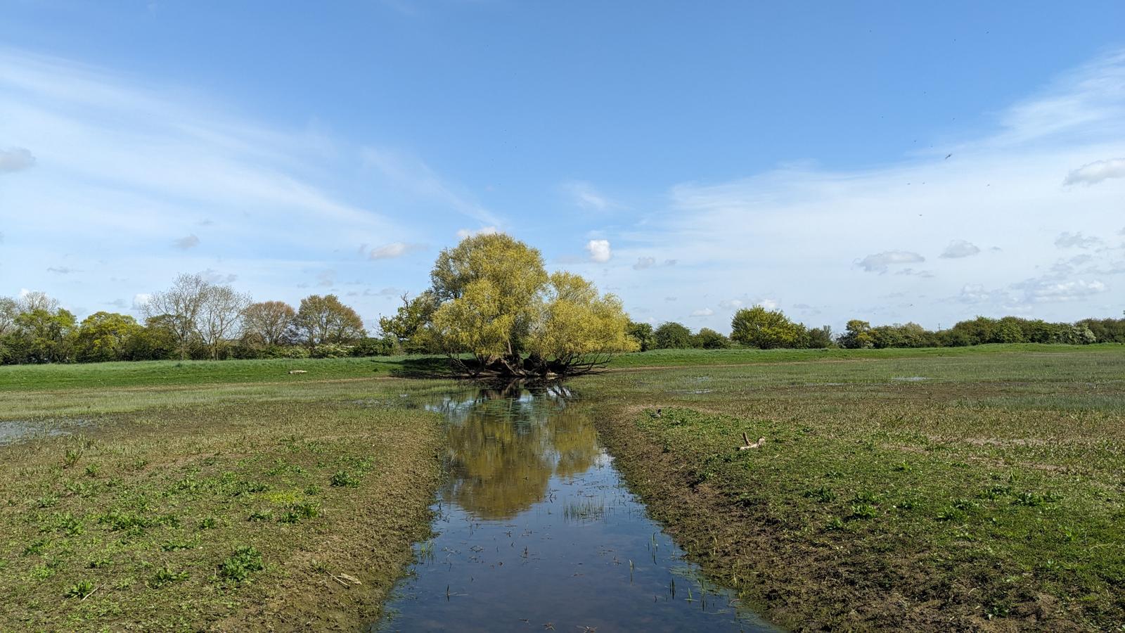
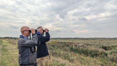
It’s a haven for birds and you can see for yourself by walking along either the Old or New Beford Rivers all the way to Denver. There is an RSPB site on the Old Bedford River and WWT Welney is situated on the New Bedford River. If you want to spend some time walking by the Ouse Washes, but also want to go to Ely, a route has been marked out.
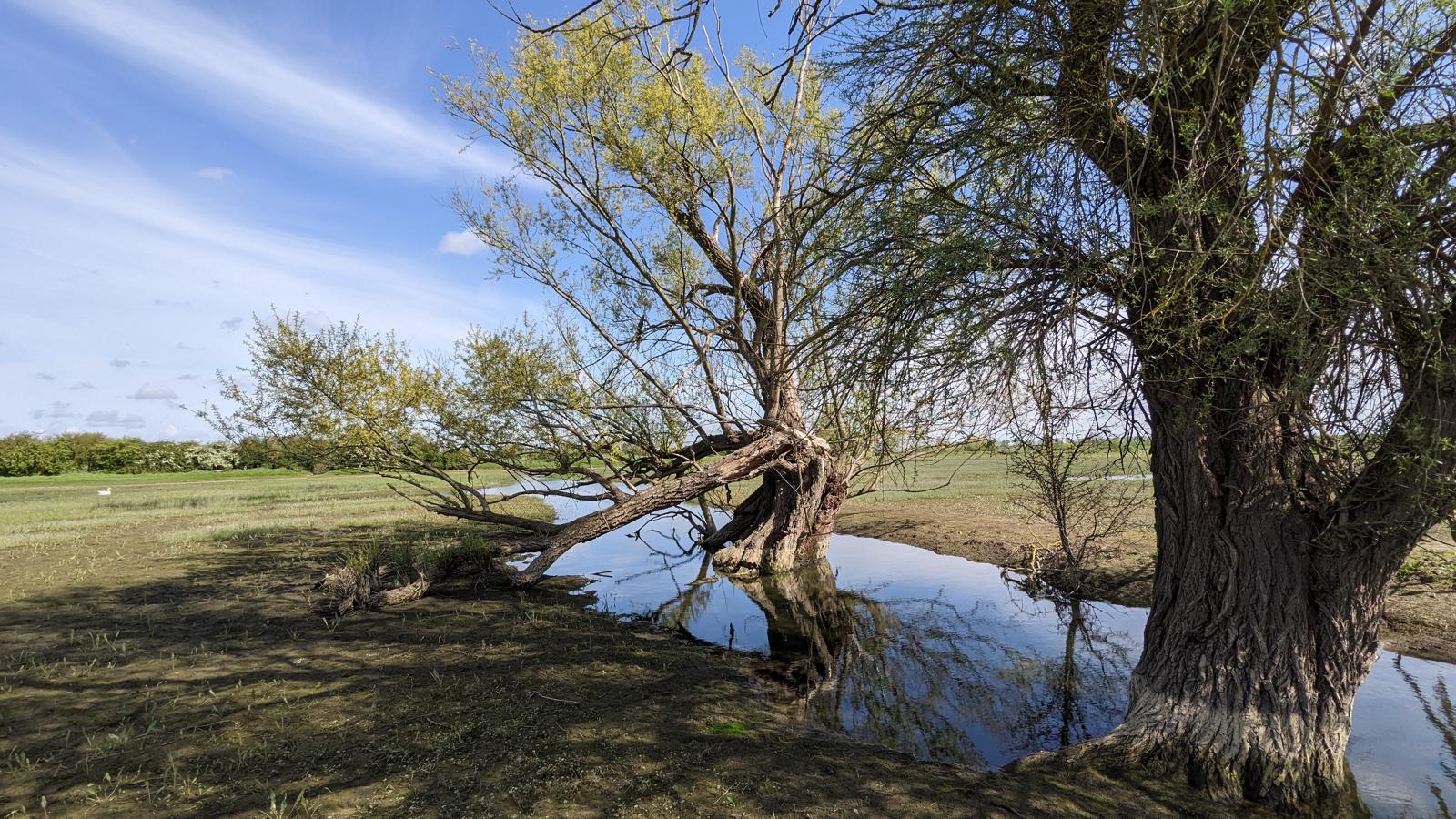
Also, for a glimpse of how things used to be before the Dutch engineers arrived, you could visit the Ouse Fen Reserve.
Audio downloads
Building a habitat
A project is underway turning quarried land into a unique reserve, based on reedbeds. Let's talk to the wardens Richard Taylor and Ian Weller to find out more.
RSPB Ouse Fen
Public transport
Public transport is not practical between Holywell and Earith.
Next leg: Earith to Ely
Back to overview